ISO Certificate : 9001
Our ISO Certification guarantees trusted processes, quality assurance, and excellence.
Key Services
Precision Across Every Terrain – Land, Air, and Sea


Application Areas
From Infrastructure to Environment – We Serve What Matters.

Construction & Infrastructure
- Mapping underground utilities for safer project execution
- Assessing geological stability for roads, bridges, slopes and other
large structures

Dams & Pumped Storage Plants (PSPs)
- Assessing geological stability for dam foundations and reservoir
construction - Monitoring seepage and subsurface integrity to ensure structural safety
- Subsurface mapping for the development and expansion of PSPs for
sustainable energy storage

Defense and Security
- Subsurface detection for tunnel networks and hidden infrastructure
- Identifying safe excavation zones for military installations

Mining & Exploration
- Exploration, monitoring and structural health assessment
- Identifying geohazards for mining operations

Water Resource Management
- Groundwater detection and aquifer mapping
- Identifying sources for sustainable water usage

Transportation & Railways
- Subsurface mapping for rail and road alignments
- Assessing geohazards like sinkholes or landslides along transit routes

Archaeology
- Detecting buried structures, artifacts, and ancient settlements

Urban Planning & Development
- Smart city planning with detailed land-use and infrastructure mapping
- Zoning analysis and sustainable urban growth management

Environmental Conservation
- Monitoring deforestation, land degradation, and habitat changes
- Mapping for biodiversity protection and ecosystem restoration

Disaster Management
- Real-time monitoring for floods, landslides, and wildfires
- Post-disaster damage assessment and recovery planning

Forestry
- Forest cover mapping and illegal logging monitoring
- Carbon stock assessment for climate initiatives
Coastal and Marine Studies
- Monitoring shoreline changes and erosion
- Coastal zone management and planning
Defense and Security
- Geospatial intelligence for surveillance and strategic planning
- Mapping of critical infrastructure for national security

About Us
At Mrida, we specialize in delivering innovative solutions for sustainable infrastructure and resource management. With expertise in advanced geophysical techniques, we empower stakeholders to overcome challenges in site selection, construction, monitoring, and environmental assessments. Our mission is to drive progress through technology, ensuring efficiency, safety, and sustainability in every project we undertake.
Discover how Mrida is shaping the future of infrastructure driven by passion, powered by precision, and built to last.
“Empowering progress to safeguard tomorrow.”
Why Choose Mrida?
At Mrida, our name reflects our core values—rooted in the earth, yet focused on
building a sustainable and innovative future. We deliver solutions that:
- Minimize environmental impact through non-invasive and non-destructive
methods - Provide continuous, reliable data for better decision-making
- Drive efficiency, sustainability, and profitability in every industry we serve
By merging precision, responsibility, and innovation, we empower businesses to lead with impact achieving operational excellence while making a lasting difference for the planet.

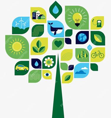
Sustainability at the Core of Our Solutions
At Mrida, we are committed to delivering solutions that empower industries to embrace sustainability while ensuring operational efficiency and resource optimization. Our innovative services are designed to provide precise, actionable insights while minimizing environmental impact and disruption.
- Non-Invasive and Non-Destructive Approach
- Cost Efficiency
- Time Efficiency
- Continuous Data Advantage
- Resource Optimization
- Carbon Footprint Reduction
- Predictive and Preventive Insights